
Tell your friends about this item:
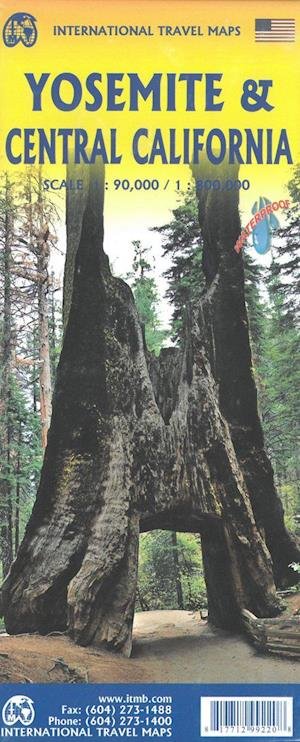
International Travel Maps: Yosemite & Central California 1st edition
ITM Publications
Our customers say:

International Travel Maps: Yosemite & Central California 1st edition
ITM Publications
The USA is blessed with many wonderful parks, forests, and natural monuments that have been preserved for all to enjoy. The second most-visited national park (after Yellowstone) is Yosemite (pronounced Yo-sem-i-tee), in the eastern portion of central California. Side 1 covers the central portion of California from a bit north of Sacramento to greater Los Angeles and focusses on major motorways and highways. A list of Top Attractions is included. Side 2 concentrates on Yosemite National Park, located east of the San Francisco region close to Nevada. There are several paved access roads into the park from the west and one from the east (none from the north or south). There are numerous camping/RV areas inside the park. As well as motels and resorts, mostly located in the vicinity of Yosemite Village The Top Attractions are all noted, including Glacier Point, the Mariposa Grove od giant sequoia trees, and Olmstead Point. Just outside the park boundary, visitors can ride the Sugar Pine Railroad, a restored historic line. The map is printed on waterproof stone paper for durability, and is decomposable. No plastic was used in its preparation, nor were any trees torn down. Scale: Yosemite 1:90.000 / Central California 1:800.000 Legend Includes: Roads by classification, Rivers and Lakes, National Park, Airports, Points of Interests, Highways, Main Roads, Zoos, Fishing, and much more...
| Media | Books Hardcover Book (Book with hard spine and cover) |
| Released | December 31, 2020 |
| ISBN13 | 9781771299220 |
| Publishers | ITMB publishing |
| Genre | Maps & Guides |
| Dimensions | 126 g |
| Language | English |
More by ITM Publications


Others have also bought
![Cover for James Joyce · Ulysses (Bound Book) [1st edition] [Indbundet] (2014)](https://imusic.b-cdn.net/images/item/original/584/9788763814584.jpg?james-joyce-2014-ulysses-bound-book&class=scaled&v=1412192648)
![Cover for G.W.F. Hegel · AFTRYK: Dialetik (Sewn Spine Book) [1st edition] (2022)](https://imusic.b-cdn.net/images/item/original/800/9788793535800.jpg?g-w-f-hegel-2022-aftryk-dialetik-sewn-spine-book&class=scaled&v=1661237403)
![Cover for Den Grønne Ungdomsbevægelse · En Grøn Retfærdig Fremtid (Sewn Spine Book) [1st edition] (2022)](https://imusic.b-cdn.net/images/item/original/000/9788794406000.jpg?den-groenne-ungdomsbevaegelse-2022-en-groen-retfaerdig-fremtid-sewn-spine-book&class=scaled&v=1670182722)
See all of ITM Publications ( e.g. Hardcover Book , Print , Book , Map and Sewn Spine Book )